
Tonight's "Did you know?"
Tonight’s “did you know” Wikipedia spiral (I promise I’m working!!)
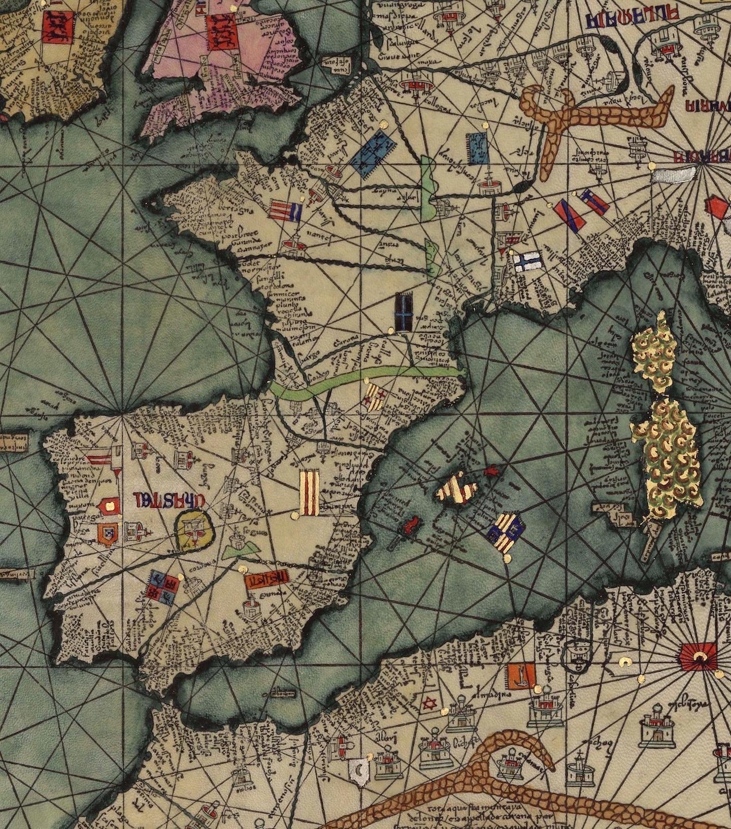
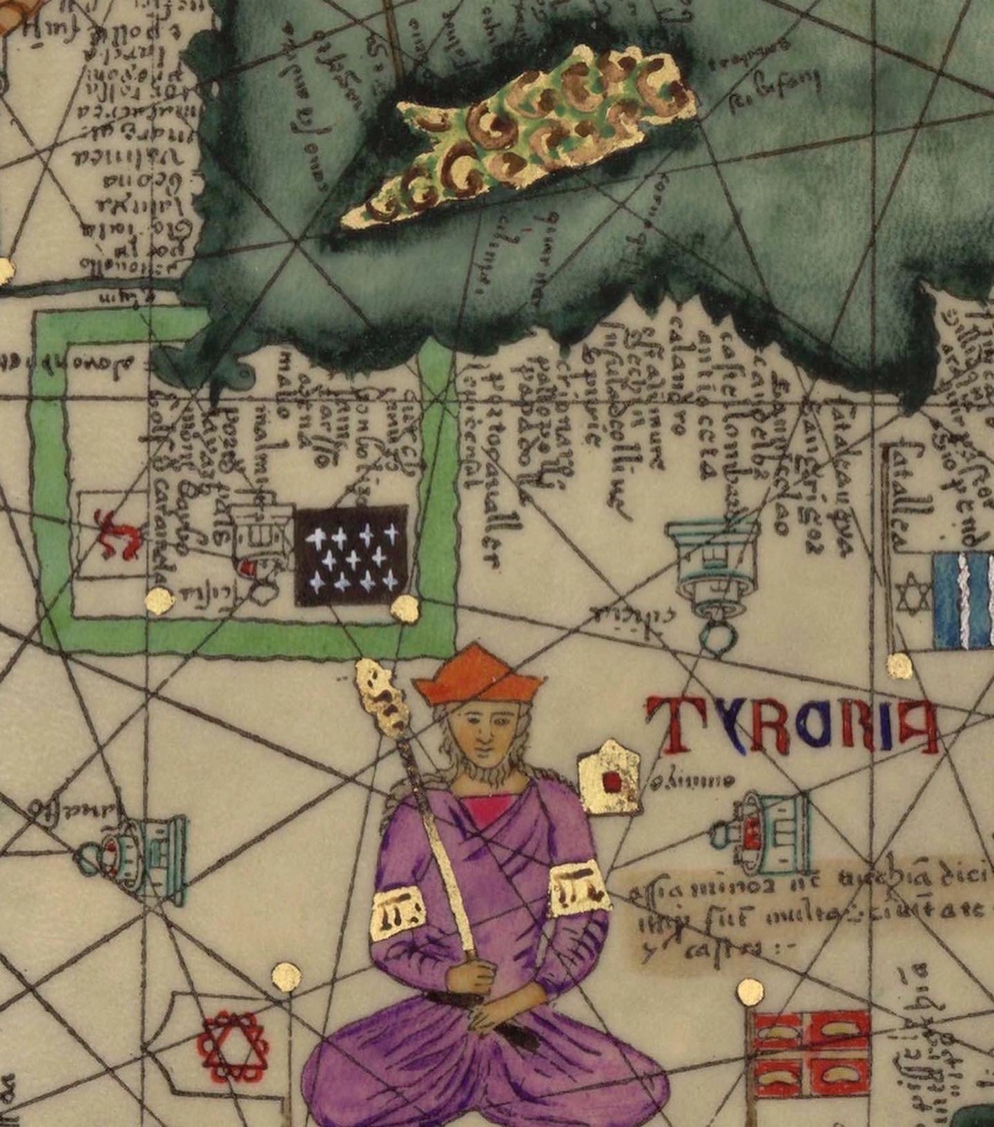
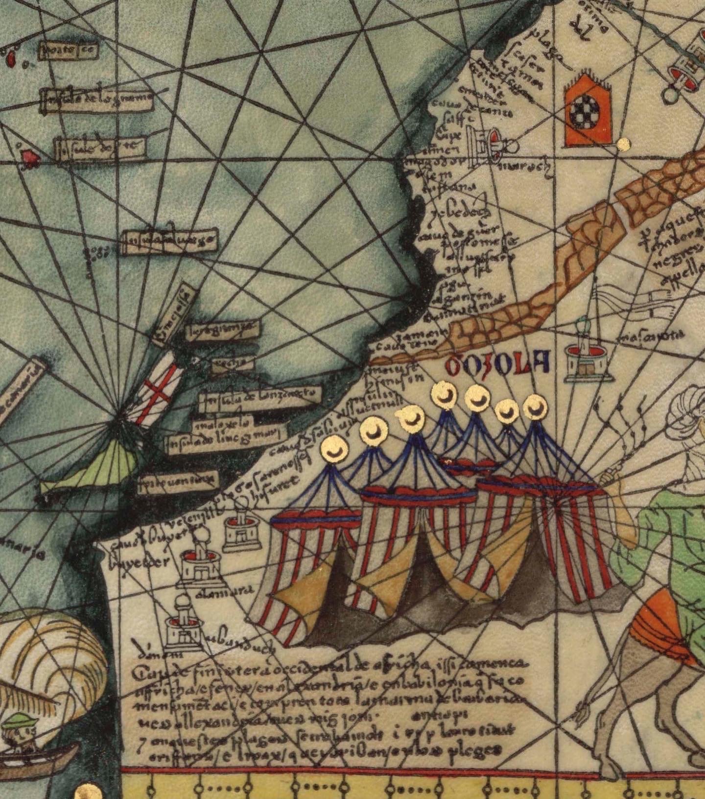
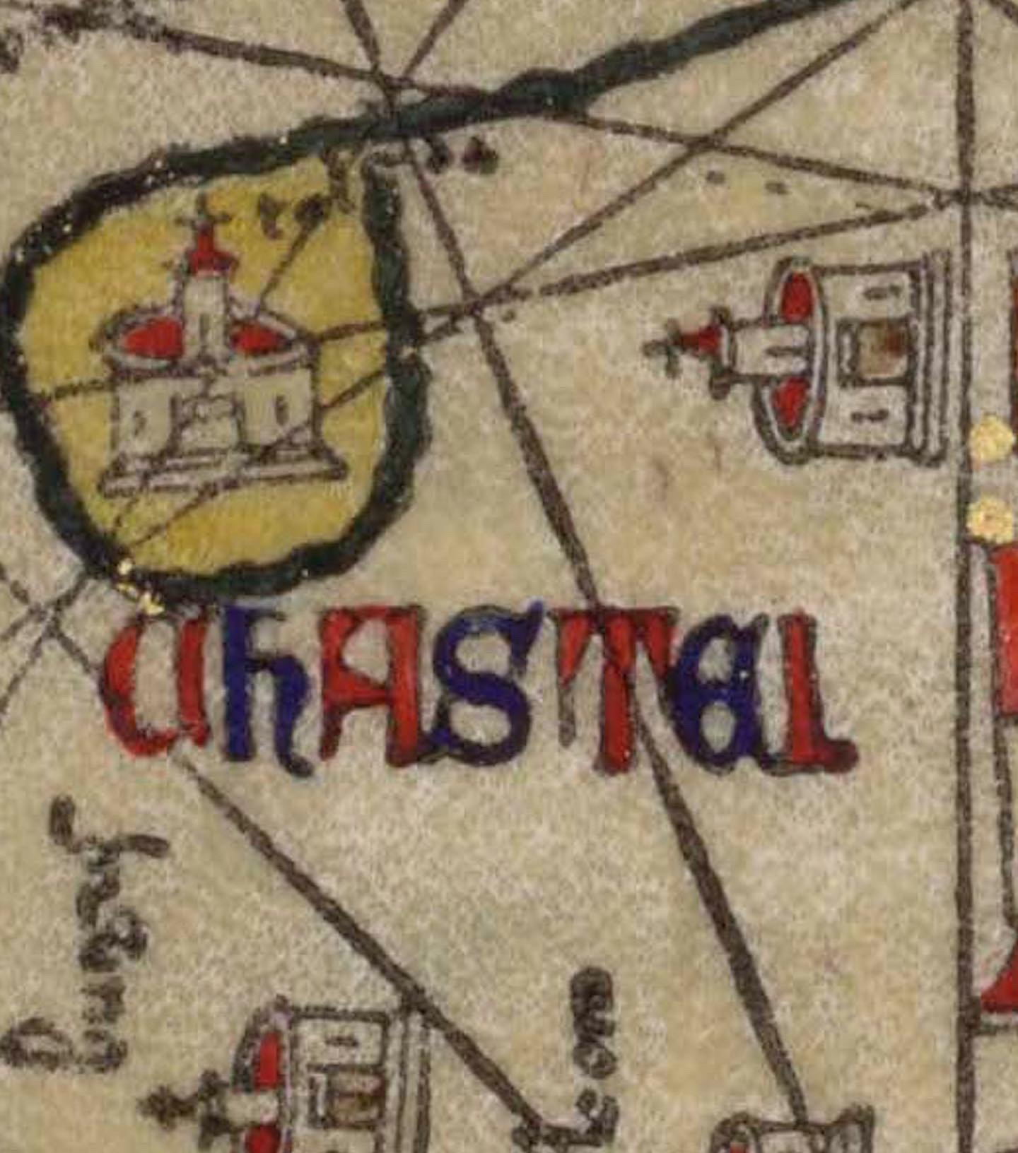
Scenes from the Atles Catalá (Catalan Atlas), a mappamundi from 1375 thought to be created by the Majorcan cartographic school, a collection of predominantly Jewish cartographers and mapmakers working in Mallorca before Spain’s expulsion of the Jews (1492). It highlights known locales and their religious/political allegiances. Text is oriented towards the edge of the page since readers would have walked around a table to read (it’s no Michelin carte: the whole map is about 12’ long). Beautiful, and highlights the way in which maps tell us so much about how a culture sees itself, the world, and its peoples’ place in it. It’s interesting to think who the audience for this map was, and what information it provides, what biases it reinforces, and what epiphanies it might have facilitated.
This map also includes what is thought to be the first compass rose known on a European chart. Medieval map makers used windrose networks (the straight lines) to account for a general inability to measure longitude at sea. The lines provide a point of reference between the compass rose and the desired destination.
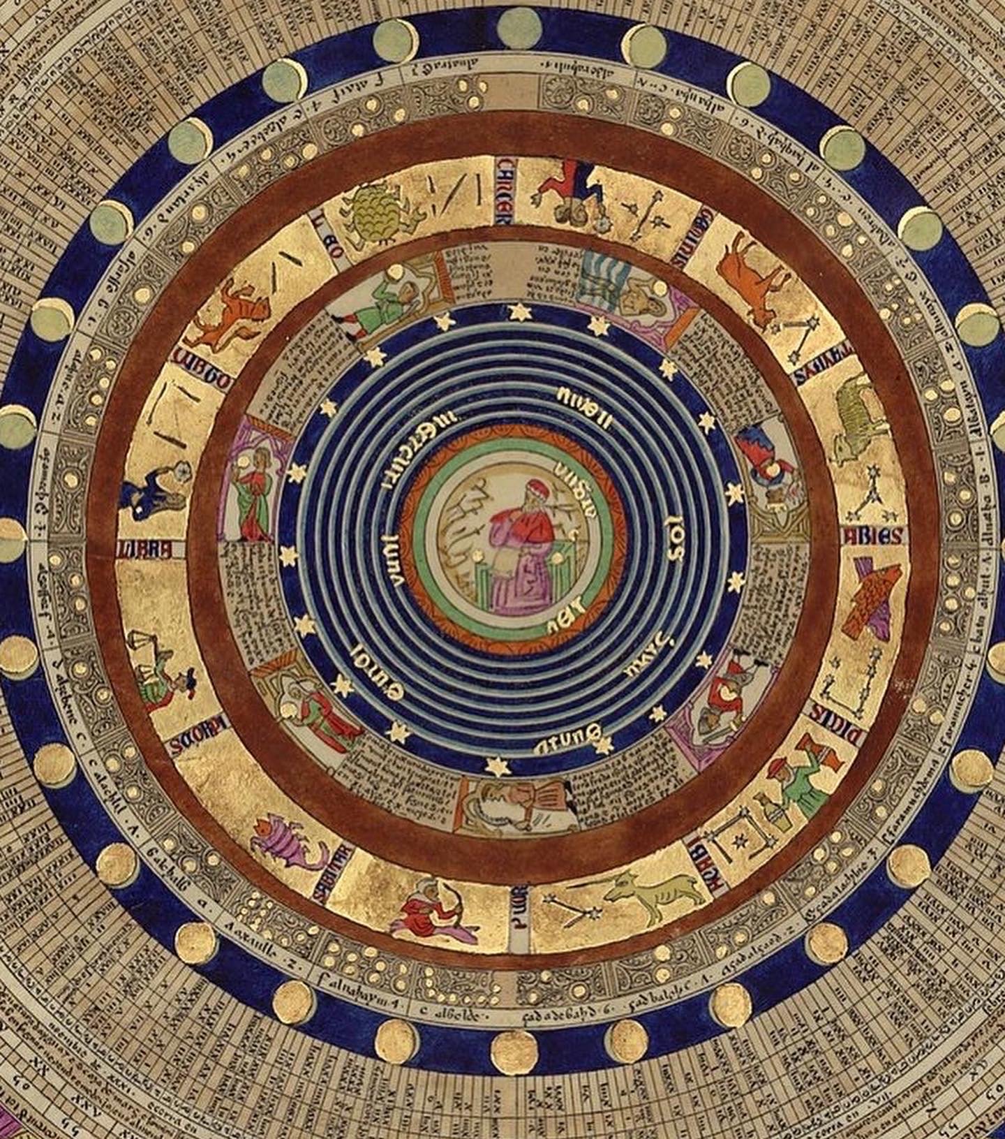
BTW, the first part of the atlas includes an astrological chart almost identical to ones I’ve seen in contemporary cathedrals in France.